Since February, Alberta Forestry and Parks has been engaged with local recreational, commercial, and municipal stakeholders in the initial stages of developing a Canmore Area Trails Strategy (CATS). The Canmore Area Trails Strategy will provide the foundation for developing, managing and maintaining an integrated, authorized and sustainable trail network in the Bow Valley that balances ecological values with quality outdoor recreation opportunities. The area involved in this process ranges from the Banff National Park boundary to Mount Yamnuska to the east; and the boundaries of the Bow Valley Wildland Park and Bow Valley Provincial Park to the north and south. The scope of the strategy is for ten years, however, the foundational nature of the strategy will shape recreational activity and climbing access in the Bow Valley for a much longer time.
In the CATS initial consultation process, the recreational climbing community interests have been voiced by representatives from the Climbers Access Society of Alberta (CASA), the Bow Valley Climbers Access Society (BVCAS), and the Western Alberta Bouldering Association (WABA). We noted the nature and importance of climbing trails and discussed problems with the current trail system. We also identified multiple opportunities for improving the sustainability, safety, and quality of the trails and at the same time minimizing our impact on wildlife and the environment. The CATS process is now entering the first of two public engagement periods. It is critical that the climbing community as individuals participate in the CATS public engagement.
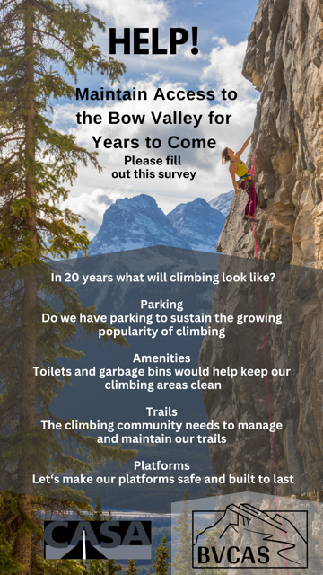
There are two parts to the public engagement. The first is a survey that covers trail policy, the current state of trails, and the desired conditions for the trail network. The results of the questionnaire will be used to form the draft strategy. It can be found at: https://your.alberta.ca/canmore-area-trails-strategy/survey_tools/survey
The second part is an interactive map where you can identify issues, such as a lack of parking and staging area problems, a lack of signage, the need for toilets, or trail opportunities such as building climbing platforms etc. The interactive map can be found here: https://your.alberta.ca/canmore-area-trails-strategy/maps/canmore-area-trails-strategy
One last note. The first page of the survey also has links to the CATS Terms of Reference (18 pages) and the Background Document (108 pages). These are worth reading for a broader and more detailed understanding of trail management in the Bow Valley area.